
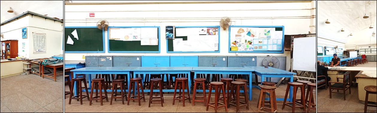
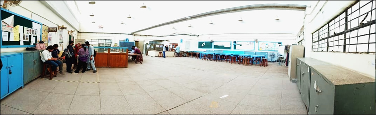
Surveying and Geomatics Laboratory
About
The aim of a Surveying and Geomatics Lab is to provide students with hands-on experience in applying surveying principles and technologies to accurately measure and map the Earth's features, prepare for professional careers, and contribute to research and community service. Key objectives include developing practical skills in using instruments like total stations and GPS, understanding measurement errors, calculating distances, angles, areas, and volumes, and mastering both traditional and modern geomatics techniques.
Lab Practical Courses
1. CE-109 Engineering Surveying-I / CE-114 Engineering Surveying-I (Batch 2025 & onwards)
2. CE-201 Engineering Surveying-II / CE-224 Engineering Surveying-II (Batch 2025 & onwards)
Testing Equipment
1. TOTAL STATION with accessories (SOKKIA) with download cable
2. DIGITAL LEVEL With pro-link software
3. ELECTRONIC DISTANCE METER INSTRUMENT (with Theodolite)
4. HAND HELD G.P.S. Instruments (with PC Cable)
5. G.P.S RECEIVER SYSTEM+S.D.R.
6. THEODOLITE (OPTICAL) PENTAX
7. AUTOMATIC LEVEL (NIKON)
8. AUTOMATIC LEVEL
9. OPTICAL SQUARE HAND LEVEL (SOKIA)
Testing Facilities
1. CE-109 Engineering Surveying-I / CE-114 Engineering Surveying-I (Batch 2025 & onwards)
2. CE-201 Engineering Surveying-II / CE-224 Engineering Surveying-II (Batch 2025 & onwards)
3. Civil Engineering Design Project
4. Postgraduate Research